

The POSIDONIA methodology framework milestones
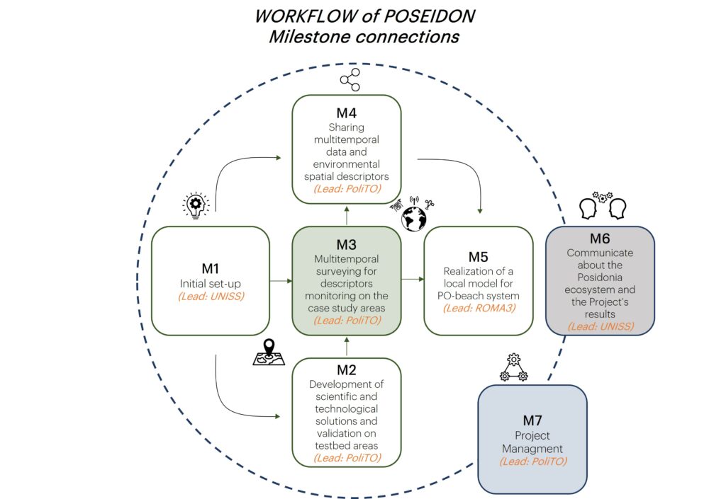
The milestone M1 “Initial set-up”
- 1.1 “Indicators and metrics” (UNISS, b01-b02): state of art, traditional survey methods at both morphological (at the meadow and
shoot scale) and biochemical (compounds descriptor of the plant vitality) level, and definition of plant response variables; - 1.2 “Identification of experiments and study areas” (UNISS, b01-b02): choise of case study areas with PO meadows at several
conservation status and restoration camps, definition of the experimental sampling design, selection of a testbed area; - 1.3 “Searching of legacy data” (POLITO, b01-b02): collecting legacy data from Earth Observation database (aerial images,
meteo-climatic data, time-series, Landsat 8 OLI, Sentinel 2 MSI, PRISMA) for monitoring the spatio-temporal evolution of study areas; - 1.4 “Design of monitoring activities of beach and fauna” (ROMA3, b01-b02): planning of fauna monitoring acquisitions with
attention to the ichthyofauna on the PO seagrass meadows (visual census activities, ROV activities) and to invertebrates living on
the banquettes (direct observation and sampling activities with transepts).
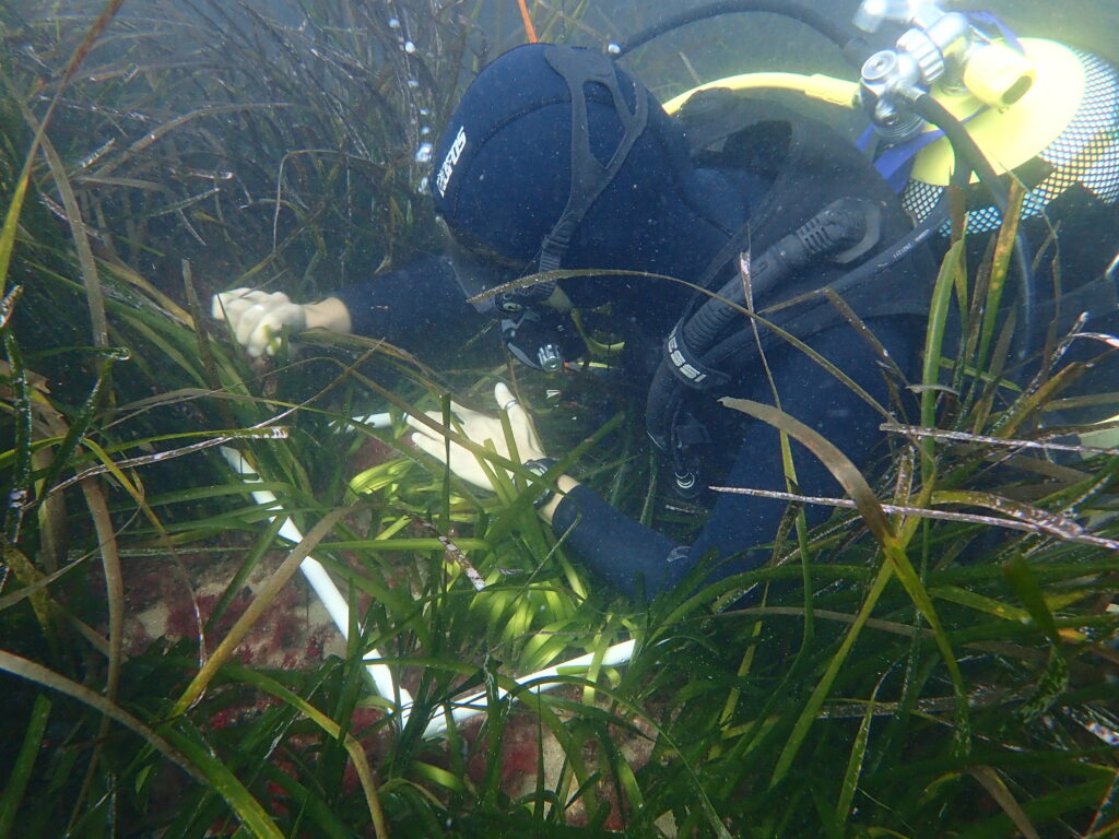
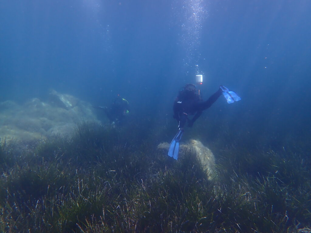
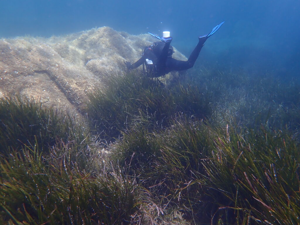
The milestone 2: “Development of scientific and technological solutions and validation on testbed areas”.
- 2.1 “Design of the multi sensor system for UHR mapping”: definition of the proposed survey methodology
integrating acoustic and optical sensors using available drone, USVs, AUVs; - 2.2 “Strategy for Multi-sensor Modelling and Cross-modality Fusion”: development of new algorithm for multiple
sensors modeling and cross modality integration producing a complete, accurate, and efficient applications in marine environment; - 2.3 “Development of Artificial intelligence (AI) algorithms for super resolution and object extraction”: test,
application and creation of a dataset to train and use the AI algorithms for super-resolution of legacy images and object detection in
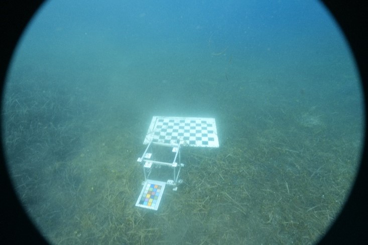
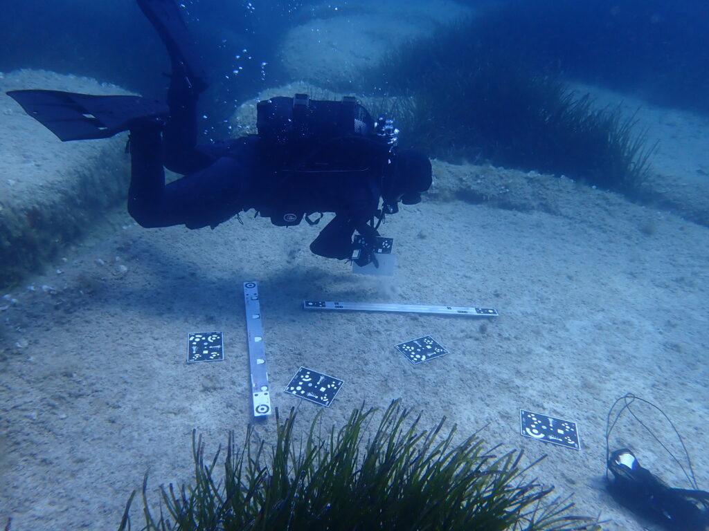
the marine environment (fishes, invertebrates, vegetation) both in the underwater scenario and in the PO banquettes; - 2.4 “Setting up a testbed site and surveying”: a testbed will be defined for conducting experiments to validate
the methodology using ground truth data, traditional indicator measurements, UHR and BUHR mapping techniques; - 2.5 “Extraction of ecological indicators”: correlation analysis between BUHD data and other surveyed data using
univariate or multivariate regression for efficient extraction of indicators; - 2.6 “Testing and validation of proposed methodology”: statistical analyses for testing and validating the
POSEIDON methodology on testbed area to study the richness of marine and coastal organisms.
The milestone M3 “Multitemporal surveying for descriptors monitoring on the case study areas”
3.1 “Acquisitions for monitoring the case study areas”: acquiring multisensor UHR and BUHR data,
documentation of several PO meadows and the related banquettes will be extract in different stages of health (healthy, degraded,
dead, restored) according to activity 1.2;
3.2 “Data processing for UHR multitemporal mapping”: adopting the methods developed in activities 2.2, 2.3
and 2.5 to extract spatial UHR data for monitoring of case study areas;
3.3 “BUHR mapping and spatial indicator extraction”: methods developed in activities 2.2, 2.3 and 2.5 will allow
to acquire data and analyze BUHR mapping for characterizing the PO meadows and monitoring of fauna and ichthyofauna;
3.4 “Fine tuning of the proposed methodology”: evaluation of all the extracted information to estimate the
richness, diversity and equidistribution of marine organisms, and fine-tuning.
The milestone M4 “Sharing multitemporal data and environmental spatial descriptors”
- 4.1 ”Design and realization of Spatial Data Infrastructure (SDI)”: the SDI will be designed to contain acquired
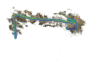
(UHR, BUHR) maps, existing multitemporal data, spatial indicators and metadata using an entity-relationship approach; - 4.2 “Development and implementation of GIS environment”: using the designed SDI, a multiscale queryable
geodatabase will be realized to collect all the information and allow multi-disciplinary interactions; - 4.3 “Development and implementation of WebGIS”: using the developed geodatabase, the webGIS allow the
fruition of the descriptors data to the users thanks to the sharing and the publication of spatial data; - 4.4 “Publication and customization of Poseidon Web App (PWA)”: using the PWA designed and implemented in
these activities, it will be possible to visualize, query and analyze the POSEIDON database for all users, fishing ships and tourist
boats sensitizing them to the topic.
The Milestone M5 “Realization of a local model for PO-beach system”
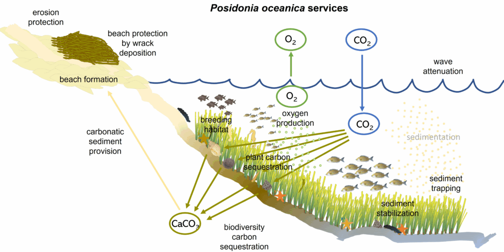
- 5.1 “Design and development of conceptual ecological model (CEM)”: the multitemporal data will be analyzed to
extract temporal trends, temporal and spatial correlations and other relations, developing a CEM for describing seagrass
ecosystems; - 5.2 “Complex spatial analysis”: spatial analysis using GIS tools, machine learning and other analytics will be
performed to extract further information as trend, correlation and other relations between indicators; - 5.3 “Implementation of CEM in SDI environment”: the available SDI will be extended to integrate the CEM
implementation with specific customizations, allowing the shared in WebGIS solution; - 5.4 “Testing and validation of CEM model”: reliability, accuracy and efficiency of CEM will be analyzed and
validated using the data acquired in the final surveyed epoch.
The Milestone M6 “Communicate about the Posidonia ecosystem and the Project’s results”
6.1 “The project communication plan”: definition of kick off and project meetings, timetable of communications
via social media and newsletters, flyers to be displayed near the sites to involve the local population;
6.2 “Identification of potential stakeholders”: select the possible stakeholders interested in the project to reach
them with an effective communication;
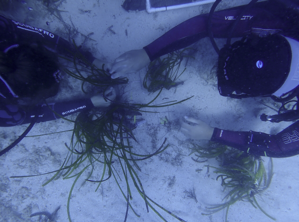
6.3 “Realization of an on-line book”: an on-line publications will be compiled with best practices and guidelines
regarding the importance of the presence of PO for the protection of marine ecosystems, the marine species characteristics of this
habitat, methods of sampling the marine species on PO meadows and the invertebrates species on dune environments with
banquettes, and the methodologies adopted in the project;
6.4 “Organization of a summer school”: according to the achieved experiences and the on-going activities, an
international summer school will be organized with the aims of teaching the POSEIDON methodologies and results;
6.5 “Organization of the final meeting”: local bodies, schools, institutions, the scientific community,
environmental associations, and citizens will be involved in a wrap-up event to disseminate Poseidon’s achievements to a wide and
varied audience.
The Milestone M7 “project management”
- 7.1 “The project management plan”: definition of the project management plan taking in consideration the
whole workflow of the project, the actions, the activities and the goals; - 7.2 “Monitoring POSEIDON”: according to the planned project, POLITO follows the PNRR rules include in the PRIN
2022 PNRR notice for reporting the milestones, targets and activities; - 7.3 “Ethics of AI”: this activity will be planned for the validation of the Artificial Intelligence algorithms, checking
for the presence of bias in the algorithmic learning methods. In particular, some Explainable AI techniques will be applied, such as
GRAD-CAM, which utilizes the grades of the classification score to identify the parts of the input image that most impact the
classification score.